
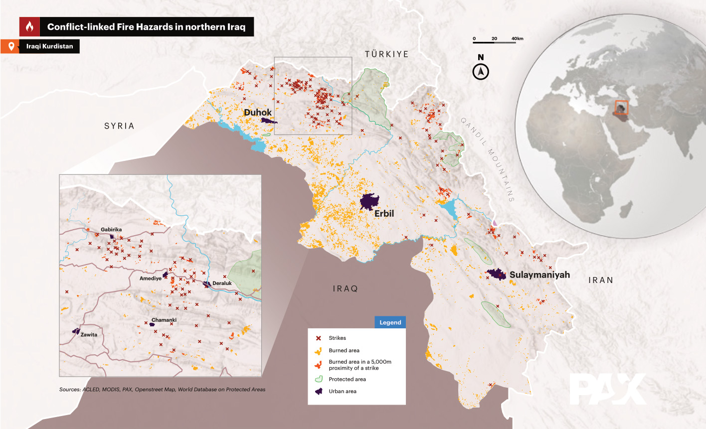
As a GIS expert, I analyzed satellite images to detect burned areas in Iraq. This work was part of a publication by the NGO PAX.
Further information can be found HERE in my references.
As a GIS expert, I analyzed satellite images to detect burned areas in Iraq. This work was part of a publication by the NGO PAX.
Further information can be found HERE in my references.