

Fortunately, Austria offers highly accurate elevation data (terrain and surface models) as a openly available download. This data is usually provided as high-resolution tiles or sub-areas — and downloading a lot of them by hand can get pretty tedious.
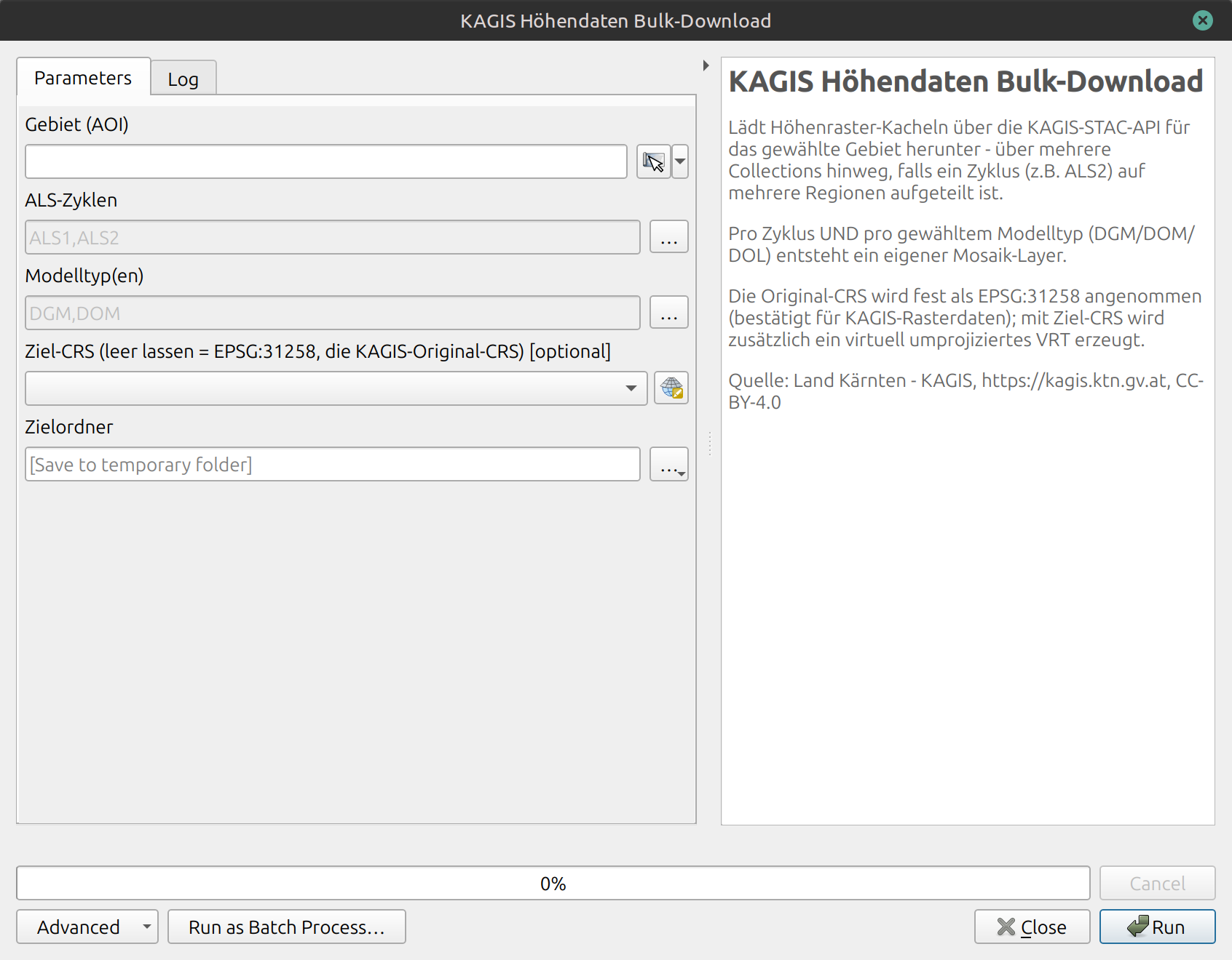
That’s why I built a small QGIS tool that lets you define an area of interest within the Austrian state of Carinthia (Kärnten). All tiles within that area are then automatically downloaded and merged into a virtual raster!
You can find the tool HERE.