

Cartography
Maps that show at a glance what matters, for reports, planning and publication.
A good map answers a question without making you search. I design maps for reports, expert assessments, permit applications and scientific publications: easy to read, cleanly labelled and with traceable sources. For print or screen, as a single sheet or as a whole series.
What you get
Thematic maps
Maps on a specific topic, such as habitats, land use or the results of an analysis, with a clear legend.
Topographic maps
Terrain, water bodies, paths and settlements for orientation or as a basis for your further work.
Plans
Site and overview plans at a fixed scale, for example for reports or fieldwork.
Map series
Many map sheets in a consistent layout, for example an entire area at the same scale, generated automatically with the QGIS Atlas.
For print and screen
- Print: layouts from A4 sheets to large-format plans, as a print-ready PDF.
- Screen: maps for presentations, reports and websites, as images in a suitable resolution.
- For further work: on request you also receive the data and the QGIS project and can adapt the map yourself.
- Animated maps: changes over time as a video, such as the water levels during the 2024 floods.
I provide up-to-date aerial images as a map base with my drone: Drone surveys and orthophotos
What makes a good map
- Legible: colours and symbols that remain distinguishable even in black-and-white print.
- Complete: scale bar, north arrow, legend and coordinate system are part of it.
- Traceable: every map names its data sources, such as basemap.at or OpenStreetMap.
- Consistent: on request in your organisation’s corporate design or matching existing reports.
- For scientific journals: maps that meet the requirements of scientific publications and still remain easy to read.
How a project works
- Enquiry: You describe what the map should show, for whom and in which format.
- Coordination: We clarify the area, scale, content and data sources. You then receive a quote.
- Draft: I create a first draft and go through it with you.
- Fine-tuning: I incorporate your feedback until content and design are right.
- Delivery: You receive the map as a print-ready PDF or as an image, with the data and QGIS project on request.
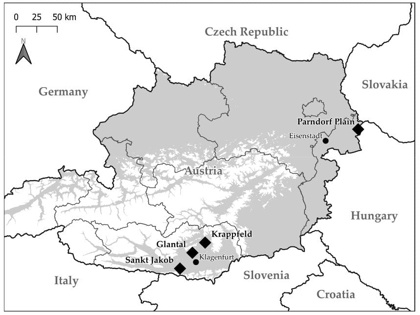
Overview map from a publication by Remo Probst.
A map for your project?
Send me a short message about what you need. I’ll get back to you with a proposal.