

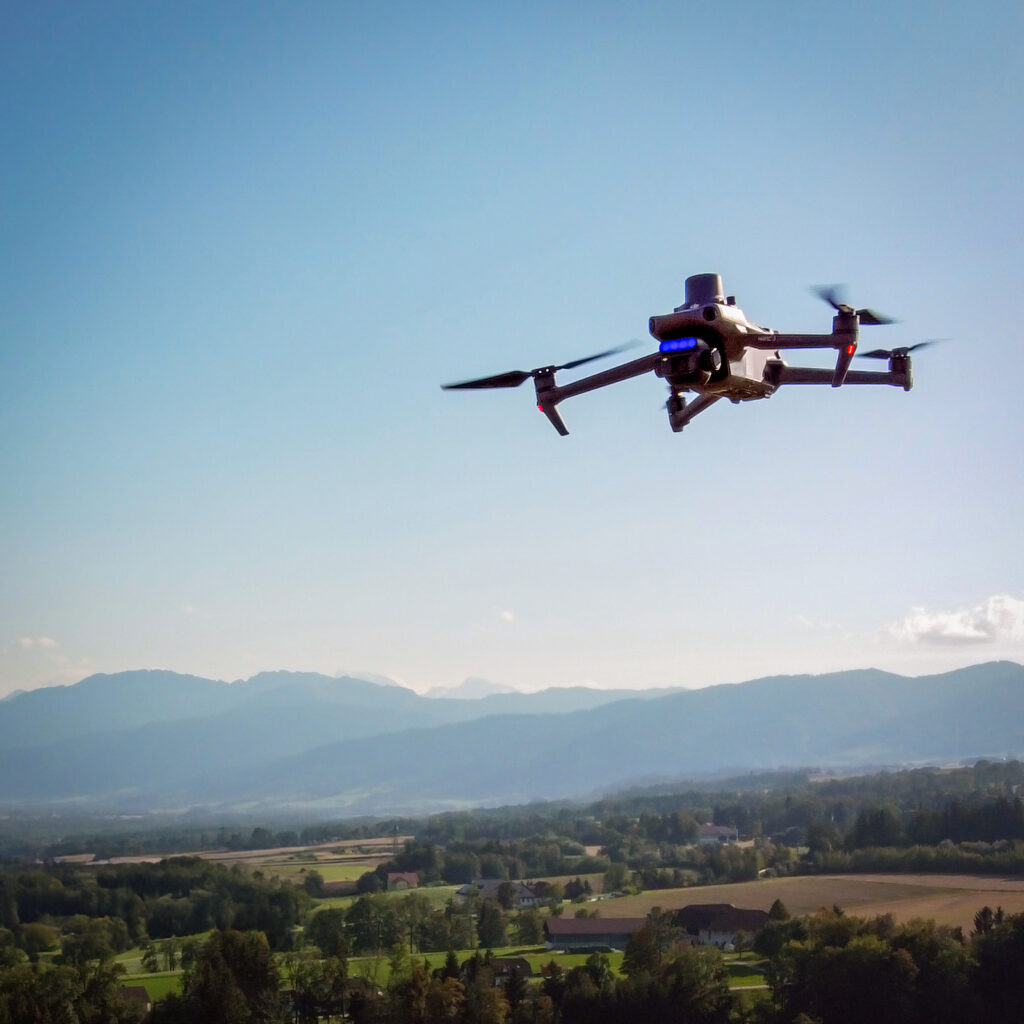
Drone surveys and orthophotos
Up-to-date, high-resolution aerial images of your site when existing orthophotos are too old or too coarse.
Official orthophotos are often several years old, and on small sites you can hardly see any detail. I fly over your site with my drone exactly when you need the data: before a project starts, after a storm or in the middle of the growing season. The results are georeferenced and fit directly into your GIS.
What you get
Orthophotos
Rectified aerial images with a ground resolution of a few centimetres, as GeoTIFF or JPG for QGIS, ArcGIS and other software.
3D and terrain models
Digital surface model (DSM) and digital terrain model (DTM) for elevations, slopes and volumes, plus 3D models of terrain and buildings.
Photos
Vertical and oblique aerial photos, each with its recorded camera position.
Videos
Aerial footage for presentations, documentation and creative projects. One example is this music video by Löwe Löwe Bär.
See more than the eye can
Besides true-colour images, the multispectral drone also records light in the near-infrared and red-edge range. Vegetation indices such as NDVI or NDRE derived from it show how vital the plants are, often before any differences are visible to the naked eye.
More on vegetation indices and time series: Remote sensing and satellite image analysis
Applications
- Nature conservation: delineating habitats, finding invasive and rare plants, monitoring restoration over the years
- Terrain: measuring ground movement, providing a basis for runoff calculations
- Documentation: the condition of a site at a specific point in time, as a photo, video or orthophoto
- Agriculture: detecting nutrient deficiency, drought stress, diseases or weeds and comparing crops (precision farming)
- Forestry: forest inventory and damage detection, for example after storms or bark beetle infestation
How a project works
- Enquiry: You send me the location and size of the site and tell me what you need the data for.
- Coordination: We clarify the resolution, output formats and timing. You then receive a quote.
- Flight planning: I check the airspace and any permits required and plan the flight route.
- Survey flight: I fly in suitable weather; a typical site is done in less than an hour.
- Processing: From the individual images I calculate orthophotos, elevation models or 3D models.
- Delivery: You receive the data in common formats (GeoTIFF, JPG, …) and in the coordinate system you need, with a map or short report on request.
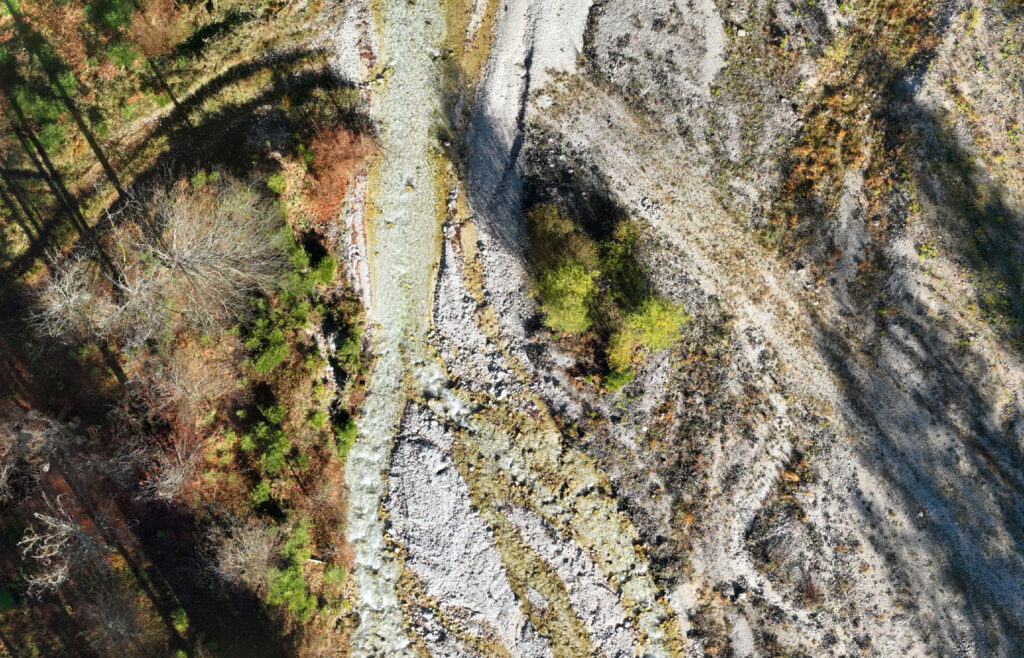
Detail of an orthomosaic.
Your site from the air?
Send me a short message about what you need. I’ll get back to you with a proposal.