

Fortunately, high-precision orthophotos are available for free download in Austria. They’re usually provided as high-resolution tiles, and if you need a lot of them, downloading them manually can be a real pain.
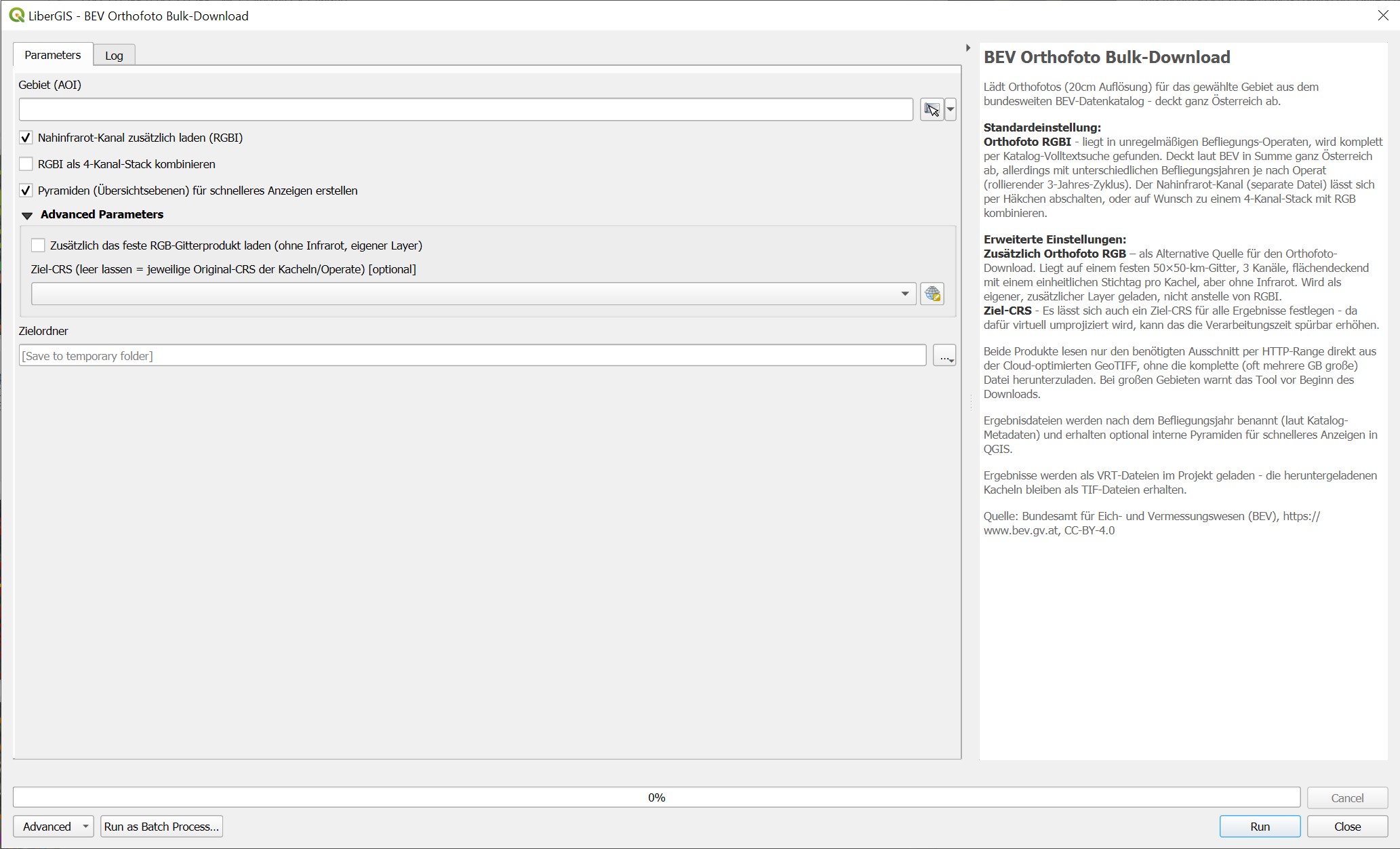
That’s why I built a small QGIS tool that lets you define an area of interest. All tiles within that area are then downloaded automatically and merged into a virtual raster (VRT)!
In addition to the true-color image (RGB), an infrared band is also available.
You can find the tool HERE.