

QGIS plugin development
Recurring tasks cost time. I develop tools that automate them in QGIS.
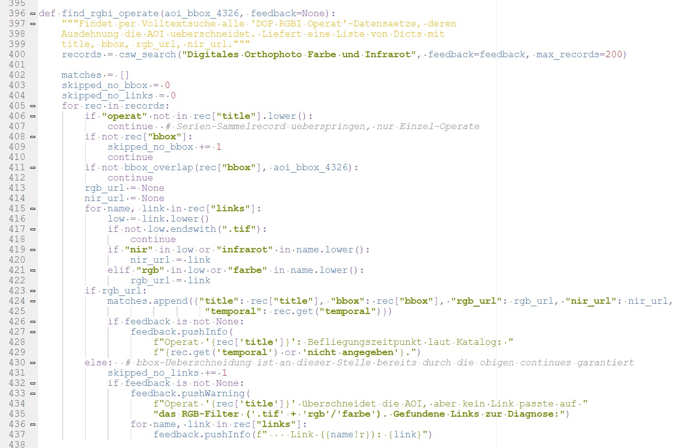
QGIS can do a lot, but it doesn’t have a ready-made tool for every task your office keeps repeating. I develop plugins and scripts that take over exactly these tasks. The tools run directly in QGIS, as their own button or in the Processing Toolbox, and are tailored to your data and workflows.
What you get
Plugins
Custom tools with a button and dialogue that feel like part of QGIS.
Processing scripts
Processing steps for the Processing Toolbox, also usable in models and batch processing.
Maintenance
Extensions when your requirements change, and updates for new QGIS versions.
Freely available tools
Some of my tools are freely available. They show what such solutions look like:
- QuickShapeStatistics: area statistics within a shape you draw yourself, developed at a client’s request
- CRS Overview: shows all layers grouped by coordinate reference system and helps find incorrectly defined systems
- Interpolate Points on Lines: turns measurement points along pipes, rivers or roads into continuous 3D lines with elevation and distance values
- Orthophoto download Austria: automatically downloads high-resolution orthophotos for an extent and merges them into one raster
- Elevation data download Austria: the same for terrain and surface models
All tools are open source and available on GitHub, QuickShapeStatistics and CRS Overview also directly in the official QGIS plugin repository.
Typical tasks
- Recurring analyses: the same analysis for every new project or data update
- Data import: loading and preparing data from portals and interfaces automatically
- Checks: checking data quality and coordinate systems before errors propagate
- Map output: generating layouts and map series at the push of a button
- Custom calculations: methods that QGIS does not offer out of the box
How a project works
- Enquiry: You describe the task that is costing you time, ideally with sample data.
- Coordination: We clarify what the tool should do and which QGIS version you work with. You then receive a quote.
- Development: I program the tool in Python and test it with your data.
- Handover: You receive the tool with brief instructions and install it like any other plugin.
- Afterwards: If your requirements change or a new QGIS version comes out, I adapt the tool.
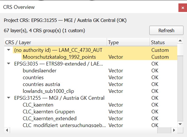
Screenshot of the CRS Overview plugin.
A task that is costing you time?
Send me a short message about what you need. I’ll get back to you with a proposal.