

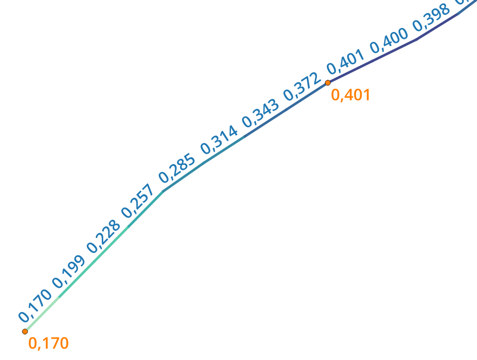
As part of an analysis for a client, I developed and published a small tool for QGIS. The script takes a line — a pipeline, a river, a road — and a set of measurement points along it, and automatically builds continuous 3D line geometries plus evenly spaced points and line segments, complete with elevation and distance values. What used to be tedious manual work now runs as a single step straight from the QGIS Processing Toolbox.
The tool is freely available on GitHub!
More about this service: QGIS plugin development