

Background
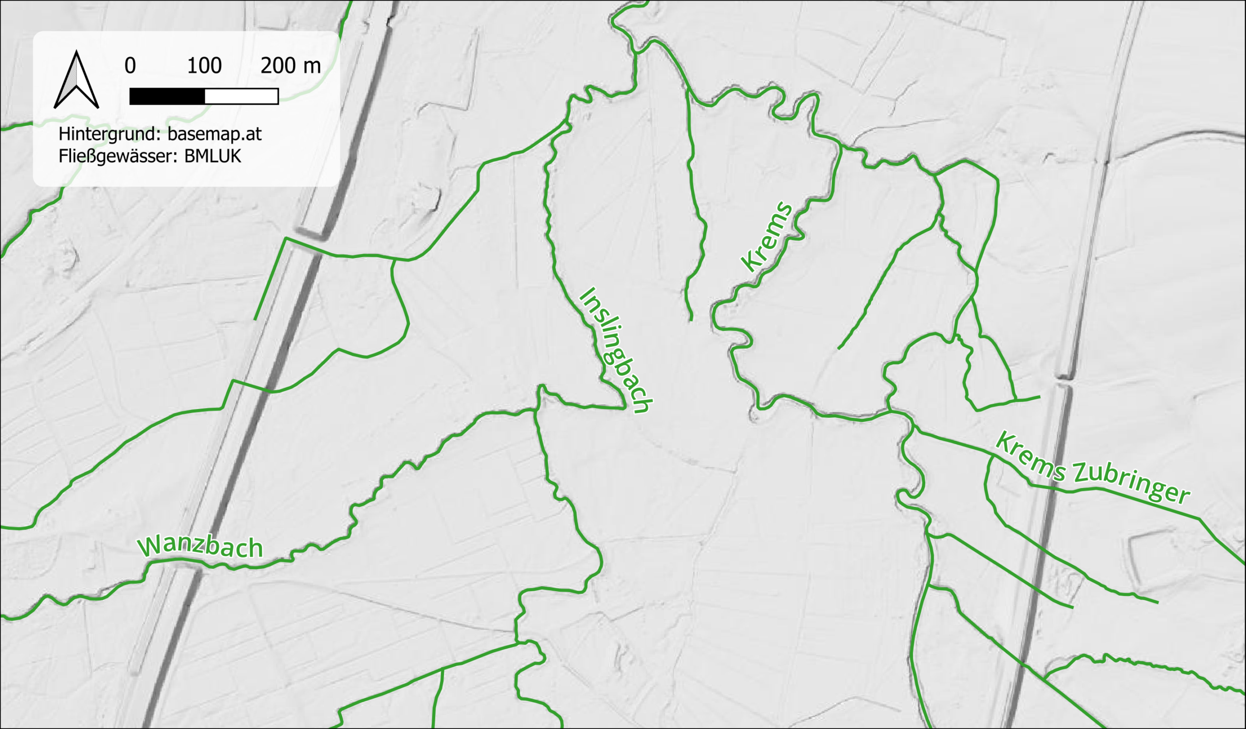
Commissioned by the State of Upper Austria, I revised the river network graphs for several catchment areas in line with the nationwide standards for hydrological connectivity, and prepared the data for integration into the national water body database. The goal was a geometrically and thematically consistent dataset with no gaps, seamlessly connecting to the existing river network.
My work
- Master data: Reviewing and completing key attributes such as name, hydrological type, flow direction, catchment area size, and legal classification
- River sections: Correcting geometry using orthophotos, digital elevation models, and hillshade, adjusting confluence areas to match the receiving watercourse, and checking digitisation direction
- Calibration points: Creating or relocating points at springs, mouths, and jurisdictional boundaries
- Event tables: Recording river width, natural vs. artificial character, above- or below-ground course, water flow regime, and local watercourse names
- Standing water bodies: Geometric review and completion of existing lake and pond data
- New features: Digitising previously missing flowing and standing water bodies based on identifiable streambed structures in the elevation model and orthophoto
Method & result
The work was carried out in QGIS, with orthophoto and elevation model data brought in via basemap.at’s WMTS services. Since hours of digitising work can take a real physical toll (especially on the wrist), I’ve since invested in a pen tablet and a height-adjustable desk. The pen tablet works excellently as an input device for QGIS!
All the data I processed was gradually integrated into the nationwide water body database, which forms the basis for a range of downstream products. The flowing-water routes, for example, can be downloaded as a nationwide dataset HERE.