

GIS analysis and geodata processing
You have geodata but no answers yet? I prepare your data, combine it and analyse it.
Geodata is often scattered: in different formats, coordinate systems and versions, alongside open government data and your own surveys. I bring this data together and use it to answer your questions: How much area is affected? Where is the best location? What can be seen from here? I work with QGIS and other open-source software. The results can just as well be used in ArcGIS and other programs. Besides proven standard analyses, I also develop new methods when your question calls for it.
What you get
Prepared data
Your data cleaned and merged, in a consistent coordinate reference system and in the format you work with.
Analyses
Area statistics, site and visibility analyses and any other technique GIS makes possible (or that we still have to invent).
Inventories
Tree, utility or hunting-ground inventories. For example, every tree with its own number, maintenance actions and inspection intervals, also mobile on phone or tablet.
Typical questions
- Areas: area statistics and changes in habitats over time
- Location and accessibility: site and distance analyses, for example as a basis for recreation planning
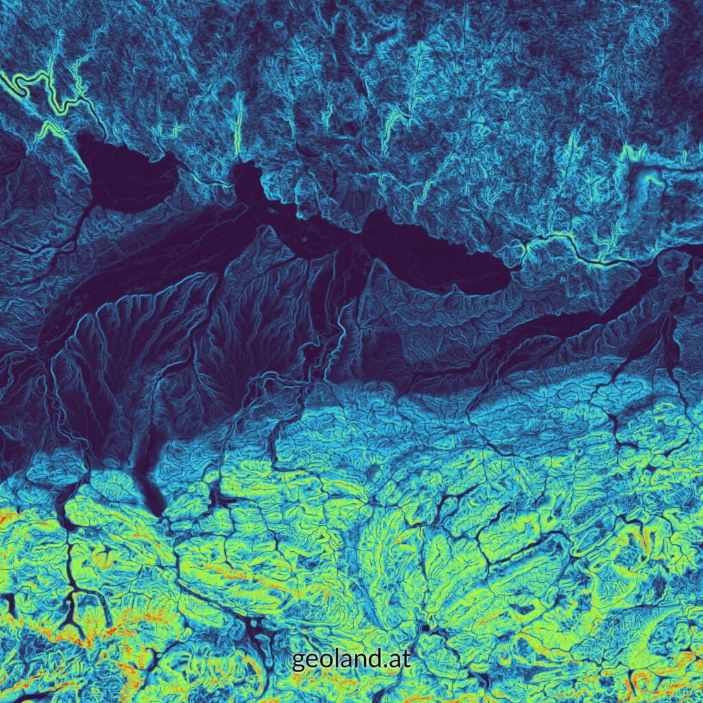
- Terrain and water: terrain analyses such as slope and aspect, modelling of watercourses
- Visibility: what can be seen from where, for example for building projects or wind turbines
- Digitisation: capturing analogue plans and maps digitally and linking them with current data
Your data as the foundation
- Data sourcing: Much geodata is available free of charge, such as orthophotos, elevation models or open government data (OGD). I know what is available and find the right data for your question.
- Preparation: I clean data, merge different formats and bring everything into a consistent coordinate reference system.
- Georeferencing: Old plans, maps or aerial photos are given a spatial reference and can be overlaid with current data.
How a project works
- Enquiry: You describe your question and the data you already have.
- Coordination: We clarify the goal, area, data sources and the form of the results. You then receive a quote.
- Data: I obtain any missing data and prepare everything for the analysis.
- Analysis: I carry out the analysis and discuss interim results with you.
- Delivery: You receive maps, tables and the data itself, with a short report on request.
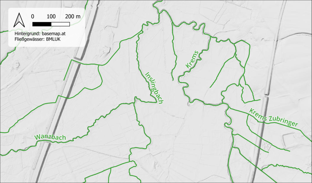
Section of the complete river network, Krems catchment.
A question for your data?
Send me a short message about what you need. I’ll get back to you with a proposal.