

Field mapping
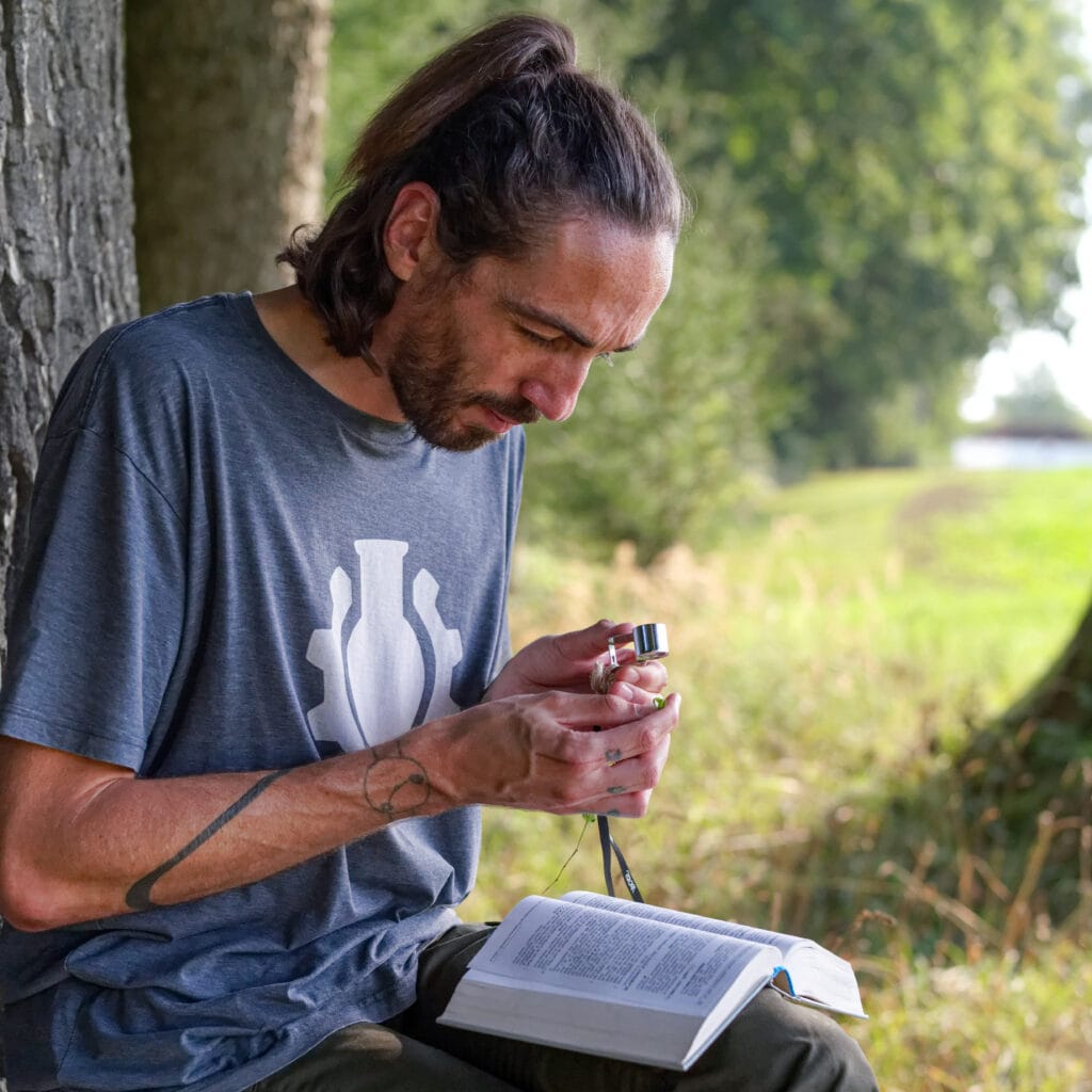
For planning projects and expert reports, I survey habitats directly in the field and record them digitally.
Many planning projects and expert reports need up-to-date data from the field: Which habitats occur, and where exactly do their boundaries run? I survey biotope types and habitats on site and record them directly in digital form, accurately located and ready to use in GIS straight away.
What you get
Biotope type mapping
Survey, delineation and classification of biotope types according to the mapping key your project specifies.
Habitats Directive mapping
Recording of habitat types under the EU Habitats Directive, for example in Natura 2000 sites. One example is my study of the steep meadows in Molln.
Digital recording
Directly in the field on a tablet or phone, accurately located via GNSS, without retyping in the office.
Digital in the field
- Accurate: positioning via GPS, GLONASS and Galileo, boundaries drawn directly on aerial images and maps
- Mobile: recording with QField on a tablet or phone, with prepared forms and pick lists
- Synchronised: the data can be synchronised over the internet or imported in the office
- Documented: geotagged photos are attached directly to the respective record
For large or hard-to-reach areas, mapping can be complemented with aerial and satellite imagery: Drone surveys and orthophotos and Remote sensing and satellite image analysis.
Digital mapping in your own team
Want to map digitally yourself? I support offices in making the switch: I set up projects, forms and synchronisation and train your team in using QField. More under QGIS training.
How a project works
- Enquiry: You send me the area, the purpose and the required mapping key.
- Coordination: We clarify the scope, the timing within the growing season and the delivery format. You then receive a quote.
- Preparation: I set up the recording project with aerial images, boundaries and pick lists on the tablet.
- Fieldwork: I survey the habitats on site, delineate them and record them directly in digital form.
- Delivery: You receive geodata, maps and photos, checked and in the format you need.
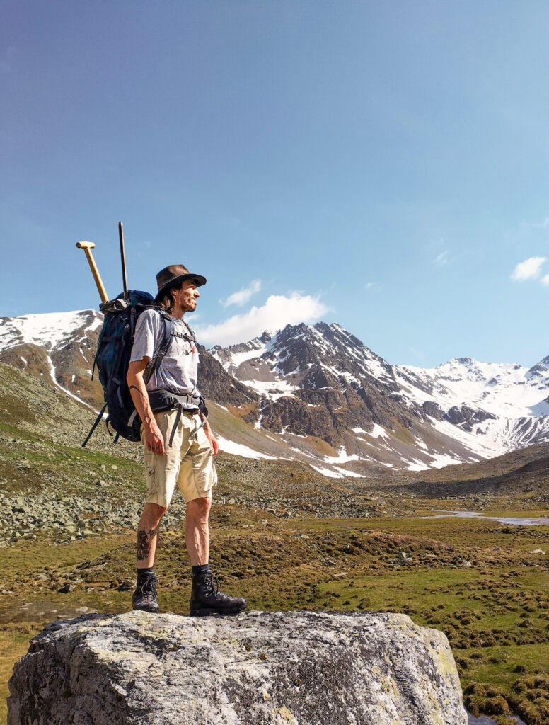
Me doing fieldwork in Tyrol.
Mapping for your project?
Send me a short message about what you need. I’ll get back to you with a proposal.